Sunday · 6 December 2026 · Cordillera de Talamanca Nine summits, cool air.
Dry seasonWe start as early as the drive from San José allows; the ridge is clearest in the morning, and the sun on the páramo is fierce by nine.
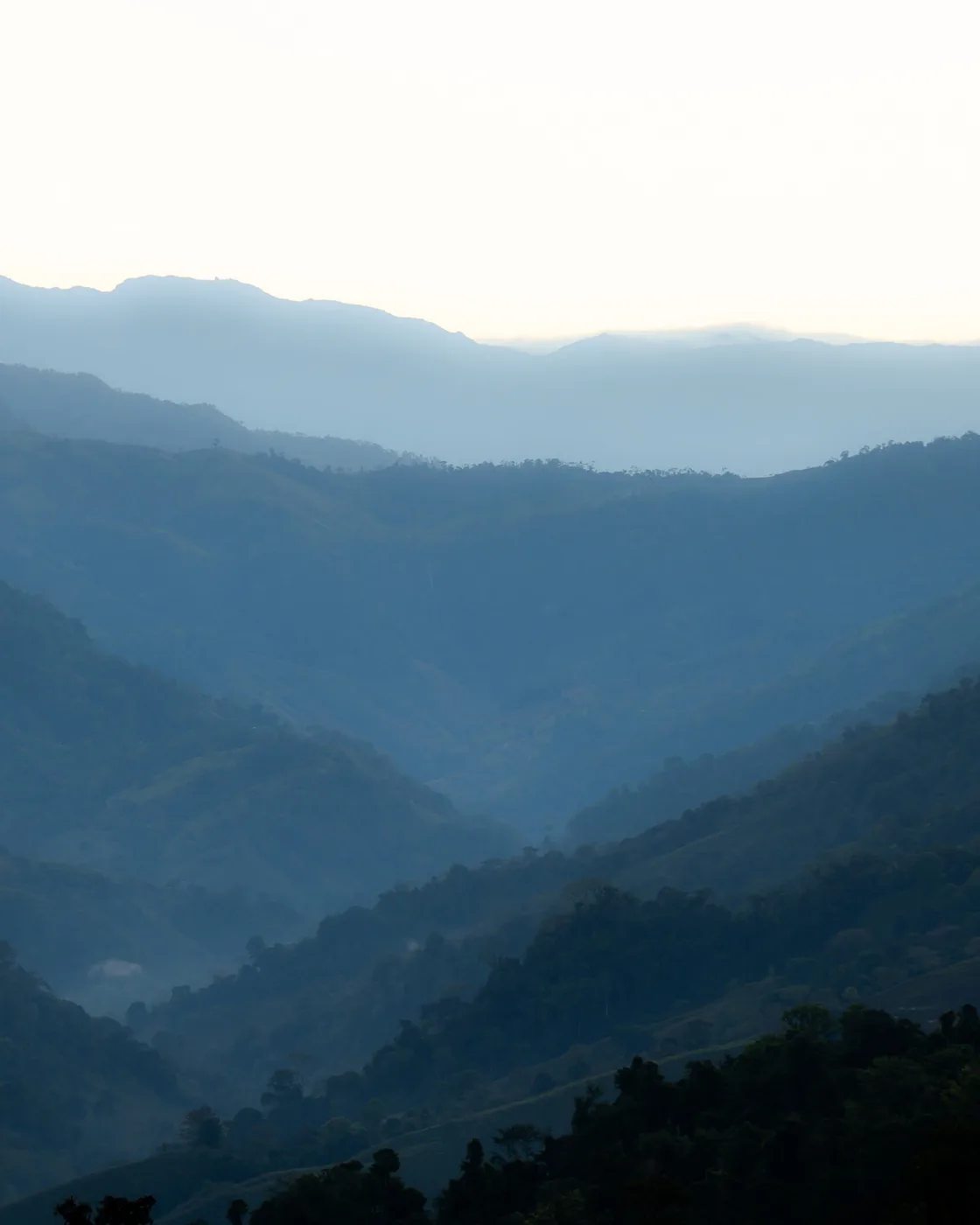
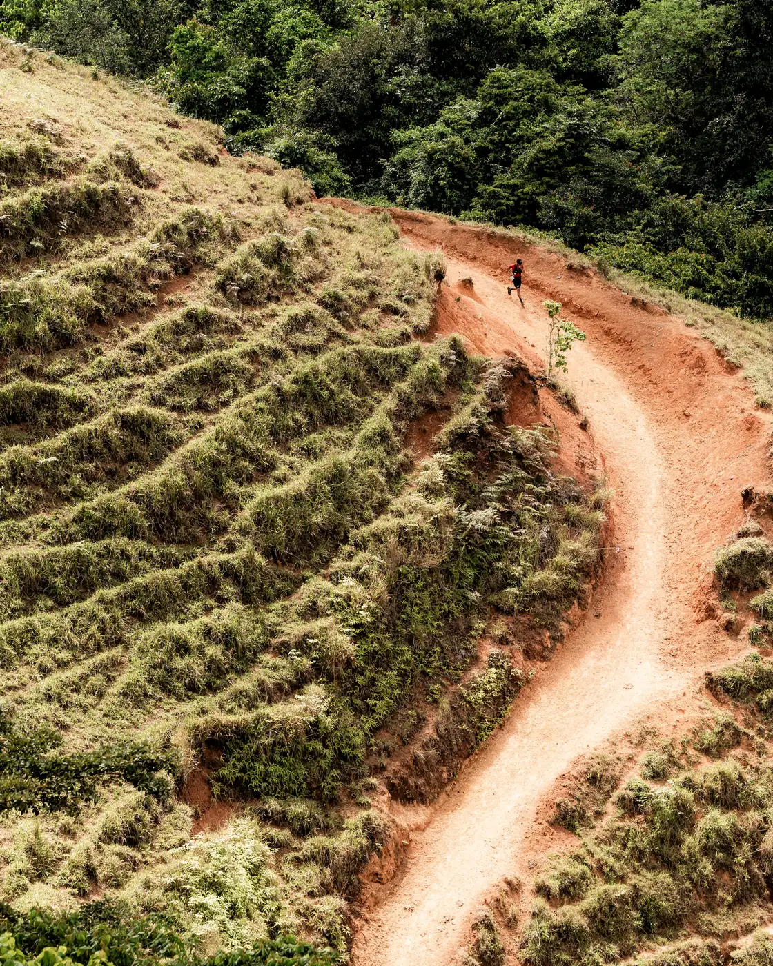
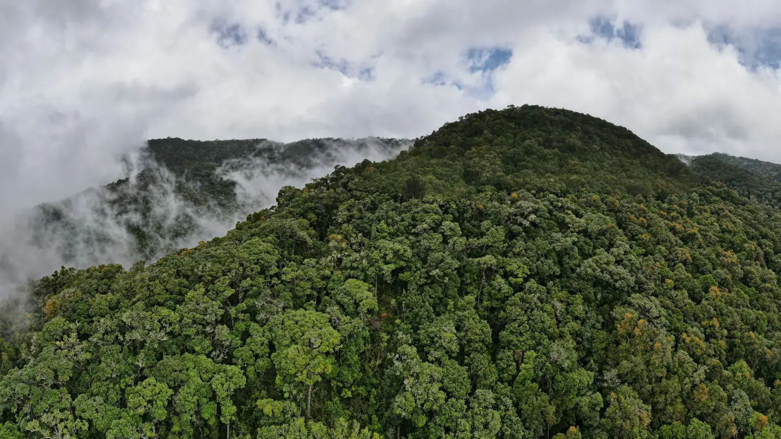
After breakfast the support van climbs the Pan-American Highway into the Macizo del Cerro de la Muerte — a high section of the Cordillera de Talamanca and the continental divide of southern Costa Rica. The day's route is the local Nueve Cumbres traverse — 17.3 km along the ridgeline, summiting Jaboncillo, Estaquero, Sákira, Sábila, Zacatales, Asunción, Páramo and Cerro Buenavista (3,491 m, the highest point of this massif and the peak the highway is named for), with a final out-and-back to Cerro Frío. Nine in all — roughly 1,640 m of ascent, 1,190 m of descent. The trail starts at the treeline and crosses it several times along the ridge; every summit is in páramo, the tropical alpine grassland that in Costa Rica only exists above 3,000 m.After breakfast the support van climbs the Pan-American Highway into the Macizo del Cerro de la Muerte — a high section of the Cordillera de Talamanca and the continental divide of southern Costa Rica. The day's route is the local Nueve Cumbres traverse — 10.7 mi along the ridgeline, summiting Jaboncillo, Estaquero, Sákira, Sábila, Zacatales, Asunción, Páramo and Cerro Buenavista (11,453 ft, the highest point of this massif and the peak the highway is named for), with a final out-and-back to Cerro Frío. Nine in all — roughly 5,380 ft of ascent, 3,900 ft of descent. The trail starts at the treeline and crosses it several times along the ridge; every summit is in páramo, the tropical alpine grassland that in Costa Rica only exists above 9,800 ft.
From Buenavista the van picks you up and drops 1,500 m into the Río Savegre Valley — a different country at a different altitude. Tonight: Lauráceas Lodge. Ten chalets in the cloud forest, a family kitchen with trout and apples from the valley, and, with luck, the resplendent quetzal feeding outside your window in the morning.From Buenavista the van picks you up and drops 4,900 ft into the Río Savegre Valley — a different country at a different altitude. Tonight: Lauráceas Lodge. Ten chalets in the cloud forest, a family kitchen with trout and apples from the valley, and, with luck, the resplendent quetzal feeding outside your window in the morning.
Distance17.3 km10.7 mi
Elevation+1,644 m / −1,189 m · entirely above 3,000 m+5,394 ft / −3,901 ft · entirely above 9,800 ft
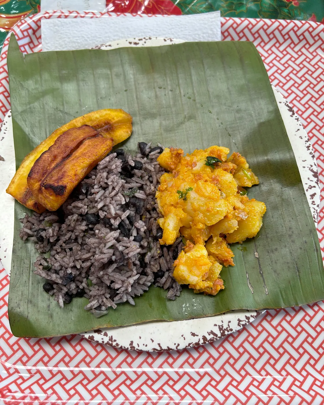
MealsBreakfast, dinner
LodgeLauráceas Lodge, San Gerardo de Dota

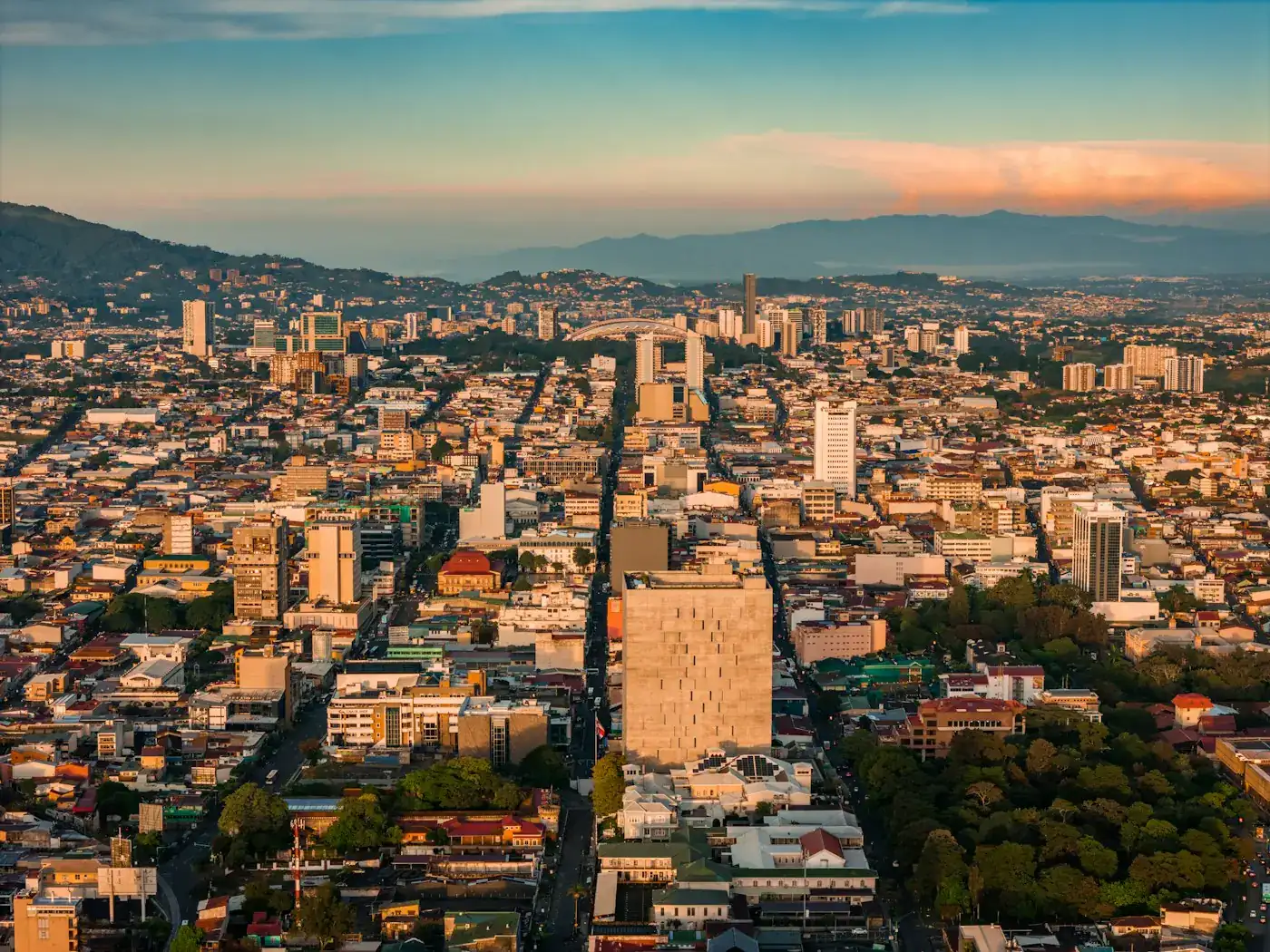 San José