The Trail Running Expedition · Rainy Season

The Talamanca at full volume: early starts on the ridge, rain by mid-afternoon, and the Osa in whale season.

Departure7 – 15 August 2027
Duration9 days
Group6 – 8 athletes
Distance~93 km~58 mi
Single occupancyUSD 10,700
Rainy season · May – November

What the season changes.

Departures
  • 7 – 15 August 2027 Now booking
The two seasons at a glance
Dry seasonRainy season
RainLittle, and least from January; December still drying.Dry mornings; rain most afternoons.
RiversFalling — fords and easy crossings by January.Full — live crossings.
Light and landHard sun and long views.Soft light; the lowlands green.
CompanyHigh season in Costa Rica.The country largely to yourselves.
What the seasons mean, and every edition

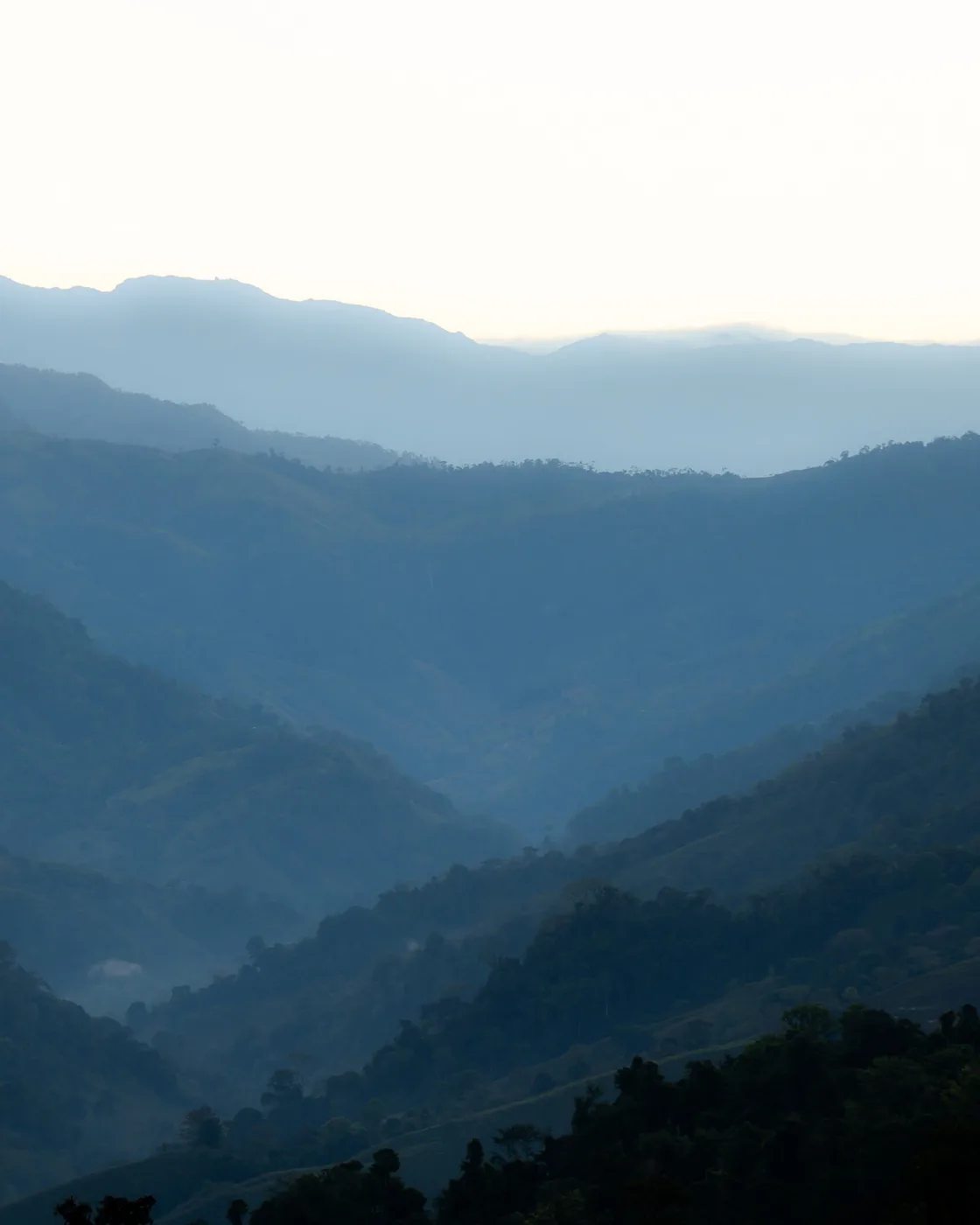
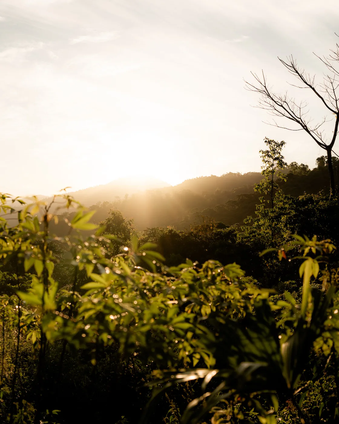
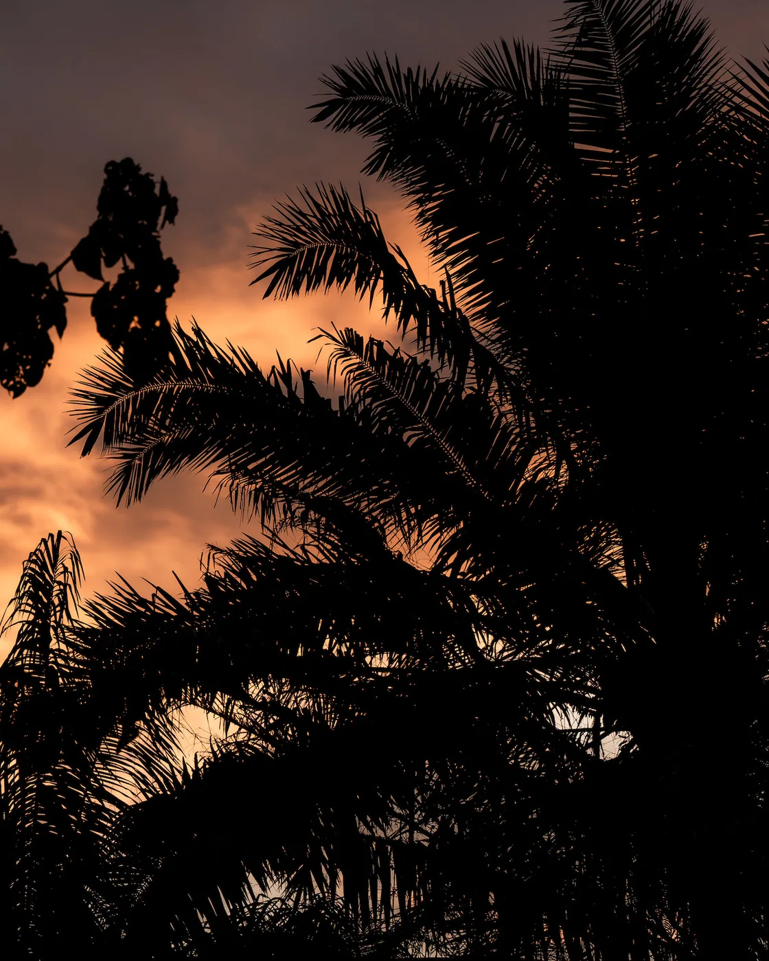
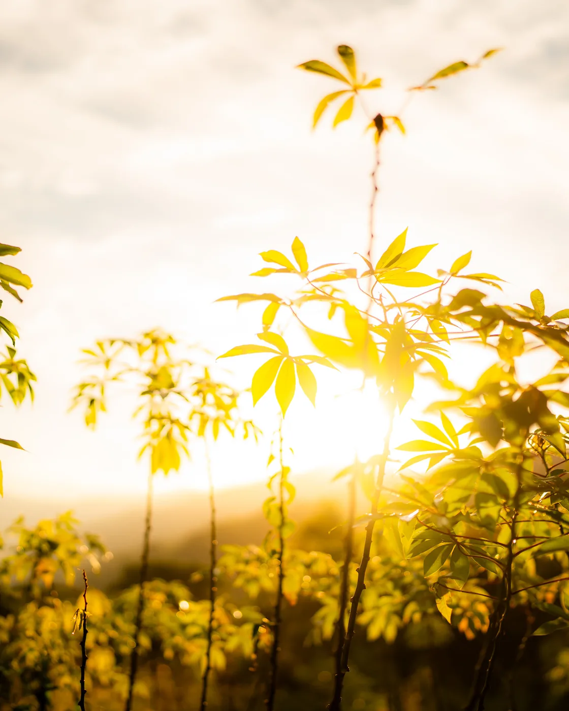
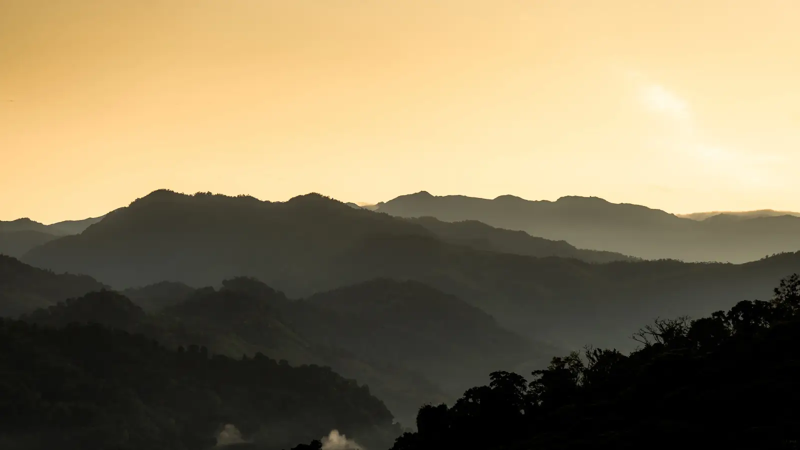
The rainy season on the Pacific slope keeps office hours: clear or dry mornings, cloud building towards midday, rain in the afternoon and early evening. So the expedition starts early. On the Nueve Cumbres we leave San José as early as the drive allows and aim to be off the ridge before the afternoon closes in; the Queen Stage descent into the Savegre runs through a cloud forest that has been wet for three months — moss swollen, every stream loud, the oaks in mist.

This far south there is no veranillo, the mid-year dry spell Guanacaste gets; August on the southern Pacific is simply the wet season, and the Osa is at its most alive. Around Drake Bay much of the rain falls at night; the days bring showers and rainbows, and from July to mid-November the bay is the breeding ground of the southern humpbacks — whales that feed off the Antarctic Peninsula and southern Chile — so a sighting with calves is a real possibility.

Who it is for: runners who do not mind weather, water on the trail and a country quieter than in the dry season. Expect mud, full rivers and the light that only comes after rain. Kit is a rain shell you trust and shoes that drain.

9 days, told slowly.

A real itinerary, with real distances, real lodges, and the meals that bookend each day — dated for the rainy season.

The cartograph

Every day, on one map.

Each route is drawn from our own field reconnaissance. Select a day to read its profile, or follow the line of the journey end to end.

Days 06
Distance 93km58mi
Gain +4,529m+14,859ft
The days
— Drawn from our own field reconnaissance. © Stadia Maps · © Stamen Design · © OpenStreetMap
01
San José
Saturday · 7 August 2027 · San José

Arrive in the capital.

Arrive in Costa Rica's vibrant capital, where you are welcomed and transferred to your comfortable base near the airport. The afternoon is yours to rest and acclimatise.

At 17:00, meet your expedition leader and fellow runners in the hotel lobby for the welcome briefing, followed by a relaxed welcome dinner.

DistanceRest day
Elevation1,170 m3,840 ft
MealsDinner
LodgeHampton Inn by Hilton, San José
02
Cordillera de Talamanca
Sunday · 8 August 2027 · Cordillera de Talamanca

Nine summits, cool air.

Rainy seasonEarly start; the aim is to be off the ridge before the afternoon cloud.

After breakfast the support van climbs the Pan-American Highway into the Macizo del Cerro de la Muerte — a high section of the Cordillera de Talamanca and the continental divide of southern Costa Rica. The day's route is the local Nueve Cumbres traverse — 17.3 km along the ridgeline, summiting Jaboncillo, Estaquero, Sákira, Sábila, Zacatales, Asunción, Páramo and Cerro Buenavista (3,491 m, the highest point of this massif and the peak the highway is named for), with a final out-and-back to Cerro Frío. Nine in all — roughly 1,640 m of ascent, 1,190 m of descent. The trail starts at the treeline and crosses it several times along the ridge; every summit is in páramo, the tropical alpine grassland that in Costa Rica only exists above 3,000 m.After breakfast the support van climbs the Pan-American Highway into the Macizo del Cerro de la Muerte — a high section of the Cordillera de Talamanca and the continental divide of southern Costa Rica. The day's route is the local Nueve Cumbres traverse — 10.7 mi along the ridgeline, summiting Jaboncillo, Estaquero, Sákira, Sábila, Zacatales, Asunción, Páramo and Cerro Buenavista (11,453 ft, the highest point of this massif and the peak the highway is named for), with a final out-and-back to Cerro Frío. Nine in all — roughly 5,380 ft of ascent, 3,900 ft of descent. The trail starts at the treeline and crosses it several times along the ridge; every summit is in páramo, the tropical alpine grassland that in Costa Rica only exists above 9,800 ft.

From Buenavista the van picks you up and drops 1,500 m into the Río Savegre Valley — a different country at a different altitude. Tonight: Lauráceas Lodge. Ten chalets in the cloud forest, a family kitchen with trout and apples from the valley, and, with luck, the resplendent quetzal feeding outside your window in the morning.From Buenavista the van picks you up and drops 4,900 ft into the Río Savegre Valley — a different country at a different altitude. Tonight: Lauráceas Lodge. Ten chalets in the cloud forest, a family kitchen with trout and apples from the valley, and, with luck, the resplendent quetzal feeding outside your window in the morning.

Distance17.3 km10.7 mi
Elevation+1,644 m / −1,189 m · entirely above 3,000 m+5,394 ft / −3,901 ft · entirely above 9,800 ft
MealsBreakfast, dinner
LodgeLauráceas Lodge, San Gerardo de Dota
03
Cloud forest
Monday · 9 August 2027 · San Gerardo de Dota

Cloud forest trails.

Wake to birdsong and the cool mist of the Dota Valley. Today's run is a 9.2 km loop from Lauráceas — climbing 500 m through montane oak forest on the eastern boundary of Los Quetzales National Park to roughly 2,625 m, then descending back to the lodge. The trail runs under moss-draped robles (Quercus) and aguacatillos — wild avocados in the Lauraceae family, which is what the resplendent quetzal feeds on, and why San Gerardo holds the largest year-round quetzal population in Costa Rica. The lodge takes its name from the same family of trees.Wake to birdsong and the cool mist of the Dota Valley. Today's run is a 5.7 mi loop from Lauráceas — climbing 1,600 ft through montane oak forest on the eastern boundary of Los Quetzales National Park to roughly 8,612 ft, then descending back to the lodge. The trail runs under moss-draped robles (Quercus) and aguacatillos — wild avocados in the Lauraceae family, which is what the resplendent quetzal feeds on, and why San Gerardo holds the largest year-round quetzal population in Costa Rica. The lodge takes its name from the same family of trees.

The afternoon is yours. Rest at the lodge, walk down to the San Gerardo waterfall on the Río Savegre, take a birdwatching outing with a local naturalist — emerald toucanet, fiery-throated hummingbird, sometimes the quetzal at close range — or visit a family-run coffee finca in the valley.

Distance9.2 km5.7 mi
Elevation+496 m / −495 m · cloud forest loop, 2,181–2,622 m+1,627 ft / −1,624 ft · cloud forest loop, 7,156–8,602 ft
MealsBreakfast, dinner
LodgeLauráceas Lodge, San Gerardo de Dota
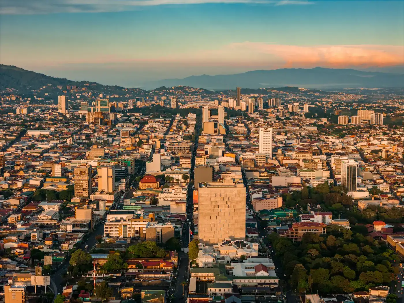
04
Queen Stage
Tuesday · 10 August 2027 · Providencia → San Isidro

The Queen Stage.

Rainy seasonThe descent runs wet and the Savegre full; on the self-supported stage you carry your own layers.

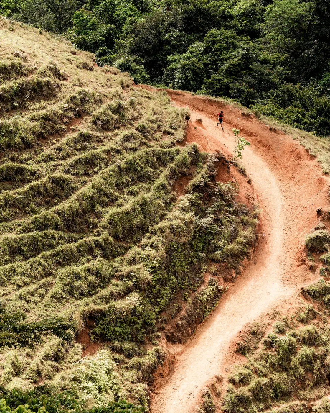
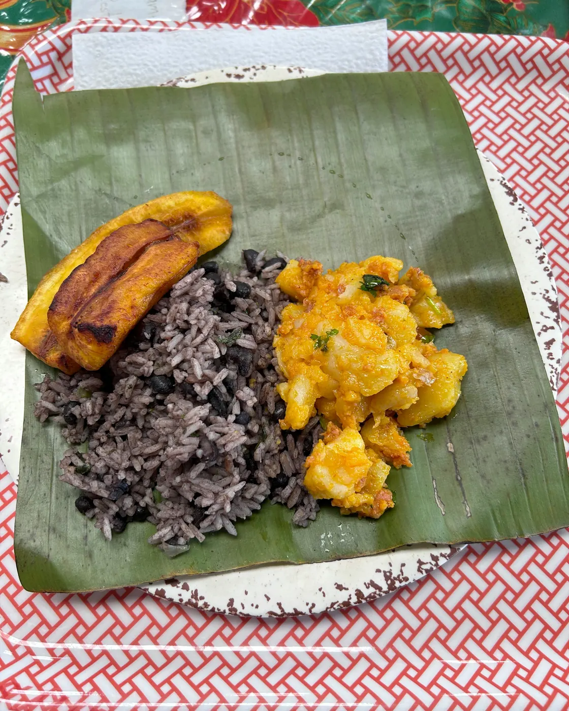
The signature day. Twenty-five kilometres point-to-point from Armonía Ambiental in Providencia (~1,800 m). A steep climb out of the village opens the day; the first seven kilometres undulate along the high ridge to a top of 1,910 m, and then a long descent drops more than a thousand metres into the cloud forest. La Chaqueta is the first clearing in the mountain — you reach it as the trees give way. The trail follows the Río Savegre down through the valley below, then closes with a final 4 km, 455 m climb into the Zona Protectora Cerro Nara. The finish line is Ranchos Tinamú (~814 m), a community-run rural-tourism lodge in San Isidro de Dota named after the great tinamou whose call carries through this forest. Total: roughly 1,380 m of ascent, 2,350 m of descent — self-supported in the sense that no van follows you.The signature day. 16 miles point-to-point from Armonía Ambiental in Providencia (~5,900 ft). A steep climb out of the village opens the day; the first 4.3 miles undulate along the high ridge to a top of 6,270 ft, and then a long descent drops more than 3,300 feet into the cloud forest. La Chaqueta is the first clearing in the mountain — you reach it as the trees give way. The trail follows the Río Savegre down through the valley below, then closes with a final 2.5 mi, 1,493 ft climb into the Zona Protectora Cerro Nara. The finish line is Ranchos Tinamú (~2,671 ft), a community-run rural-tourism lodge in San Isidro de Dota named after the great tinamou whose call carries through this forest. Total: roughly 4,530 ft of ascent, 7,710 ft of descent — self-supported in the sense that no van follows you.

What the day actually is: at three or four houses down the route, mountain families open their kitchens to runners — coffee, agua dulce, fruit, an empanada, a chair in the shade. The full story is in the Field Notes ('The Queen Stage, told slowly'). After Ranchos Tinamú the support team continues you out to Hotel Parador on the Manuel Antonio coast — five hectares of rainforest above the Pacific, where the next two nights are. Tonight dinner is yours: recover quietly at the hotel, or tell us the kind of table you want in town and we'll have it booked.What the day actually is: at three or four houses down the route, mountain families open their kitchens to runners — coffee, agua dulce, fruit, an empanada, a chair in the shade. The full story is in the Field Notes ('The Queen Stage, told slowly'). After Ranchos Tinamú the support team continues you out to Hotel Parador on the Manuel Antonio coast — 12 acres of rainforest above the Pacific, where the next two nights are. Tonight dinner is yours: recover quietly at the hotel, or tell us the kind of table you want in town and we'll have it booked.

Distance25 km16 mi
Elevation+1,380 m / −2,351 m · self-supported+4,528 ft / −7,713 ft · self-supported
MealsBreakfast + local snacks · evening free
LodgeHotel Parador, Manuel Antonio
05
Pacific coast
Wednesday · 11 August 2027 · Manuel Antonio

Coast and recovery.

Rainy seasonAfternoon storms; the sea turns murky near the river mouths.

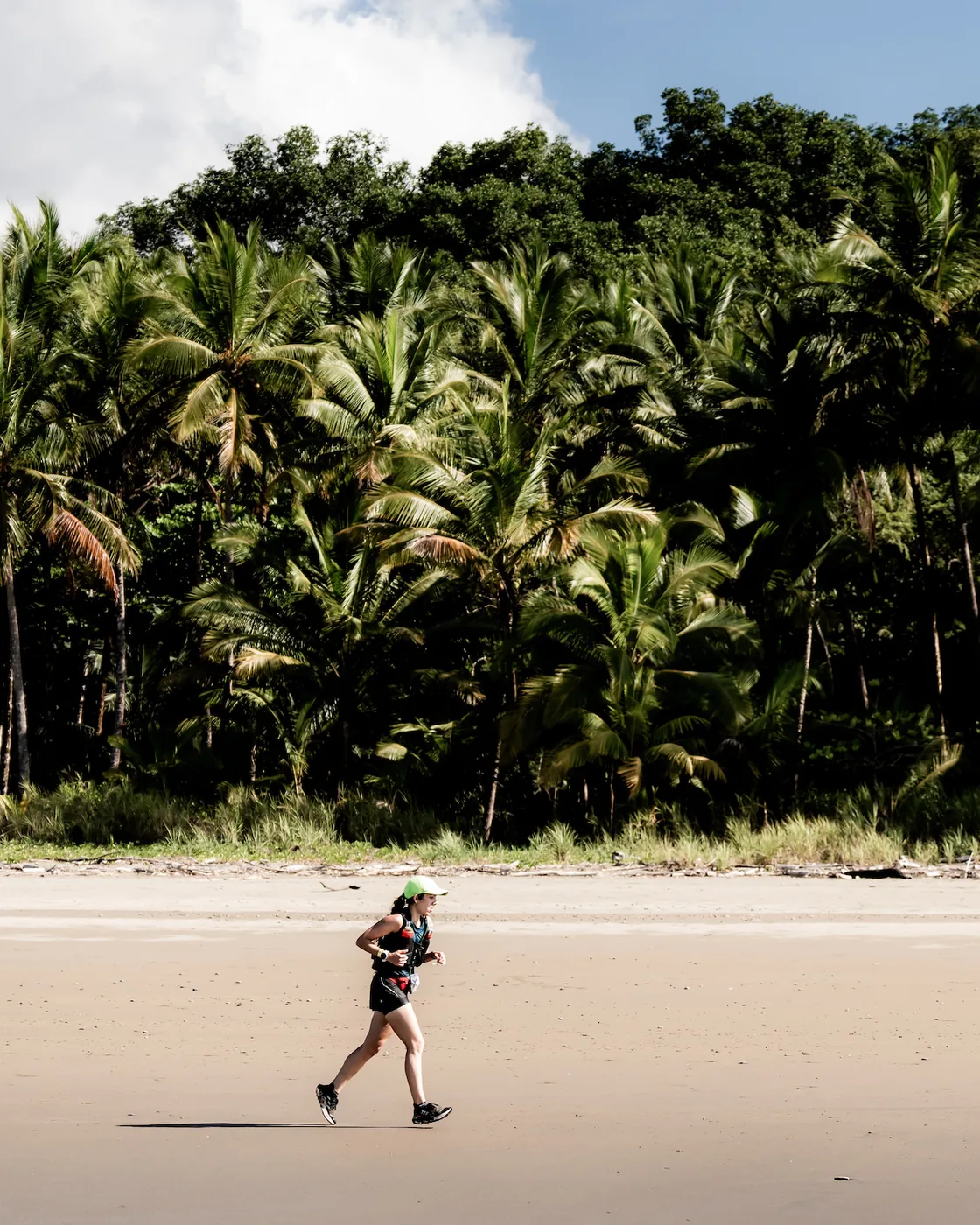
Trade mountains for coastline on the Reto MAE — Manuel Antonio Extreme — the local 9.5 km coastal trail and the route of an annual November race. From Quepos south to the gates of Manuel Antonio National Park, the path snakes through rainforest, climbs onto cliff-top bluffs, and drops onto seven Pacific beaches in sequence: Rocosa, Tulemar, La Vaca, La Macha, Biesanz, and the rest. Don't let the sea-level start fool you — the day accumulates around 425 m of gain over short, sharp pitches to each viewpoint.Trade mountains for coastline on the Reto MAE — Manuel Antonio Extreme — the local 5.9 mi coastal trail and the route of an annual November race. From Quepos south to the gates of Manuel Antonio National Park, the path snakes through rainforest, climbs onto cliff-top bluffs, and drops onto seven Pacific beaches in sequence: Rocosa, Tulemar, La Vaca, La Macha, Biesanz, and the rest. Don't let the sea-level start fool you — the day accumulates around 1,394 ft of gain over short, sharp pitches to each viewpoint.

After the run, spend a relaxed afternoon at Hotel Parador — five hectares of rainforest, cliff-top pools above the Pacific. Optional: a guided visit to Manuel Antonio National Park (three monkey species including the endemic Central American squirrel monkey, three-toed sloths, agoutis), or sunset kayaking along the coast. Tonight, dinner is yours — Manuel Antonio is the one town on this route with a real choice of tables. Tell us the kind of evening you want and we'll have it booked.After the run, spend a relaxed afternoon at Hotel Parador — 12 acres of rainforest, cliff-top pools above the Pacific. Optional: a guided visit to Manuel Antonio National Park (three monkey species including the endemic Central American squirrel monkey, three-toed sloths, agoutis), or sunset kayaking along the coast. Tonight, dinner is yours — Manuel Antonio is the one town on this route with a real choice of tables. Tell us the kind of evening you want and we'll have it booked.

Distance9.5 km5.9 mi
Elevation+425 m / −429 m · coastal singletrack+1,394 ft / −1,407 ft · coastal singletrack
MealsBreakfast · evening free in town
LodgeHotel Parador, Manuel Antonio
06
Drake Bay
Thursday · 12 August 2027 · Sierpe → Drake Bay

Into the wild.

Rainy seasonMuch of the rain falls at night; humpbacks with calves are possible in the bay.

After breakfast, journey south to the Sierpe River and board a boat that winds out through the Sierpe-Térraba mangroves — the largest mangrove system in Central America — into the open Pacific, and around the headland into Bahía Drake. From the village of Agujitas, the day unfolds along the Pacific coastal trail: 16.6 km of singletrack through the Punta Río Claro National Wildlife Refuge, tracing hidden coves, headlands, and stream crossings as the path slips deeper into the Osa Peninsula. Scarlet macaws in the beach almonds — the Osa holds the country's largest population.After breakfast, journey south to the Sierpe River and board a boat that winds out through the Sierpe-Térraba mangroves — the largest mangrove system in Central America — into the open Pacific, and around the headland into Bahía Drake. From the village of Agujitas, the day unfolds along the Pacific coastal trail: 10.3 mi of singletrack through the Punta Río Claro National Wildlife Refuge, tracing hidden coves, headlands, and stream crossings as the path slips deeper into the Osa Peninsula. Scarlet macaws in the beach almonds — the Osa holds the country's largest population.

The run ends where you sleep: Corcovado Wilderness Lodge — 76.5 hectares of rainforest, two kilometres of oceanfront, bordered on three sides by 182,000 hectares of national park and reserves. Off-grid, accessible only by boat, all meals included. Tonight: monkey calls from the canopy, the sound of waves through the open windows, and a long table for dinner.The run ends where you sleep: Corcovado Wilderness Lodge — 189 acres of rainforest, 1.2 miles of oceanfront, bordered on three sides by 450,000 acres of national park and reserves. Off-grid, accessible only by boat, all meals included. Tonight: monkey calls from the canopy, the sound of waves through the open windows, and a long table for dinner.

Distance16.6 km10.3 mi
Elevation+285 m / −270 m · coastal jungle singletrack+935 ft / −886 ft · coastal jungle singletrack
MealsBreakfast, lunch, dinner
LodgeCorcovado Wilderness Lodge, Drake Bay
07
Osa Peninsula
Friday · 13 August 2027 · Osa Peninsula

The most biodiverse corner.

Step into one of the most biodiverse corners of the planet. Today's 15.4 km run winds through dense rainforest, alive with monkeys, toucans, and scarlet macaws, as you splash through rivers and follow rugged singletrack.Step into one of the most biodiverse corners of the planet. Today's 9.6 mi run winds through dense rainforest, alive with monkeys, toucans, and scarlet macaws, as you splash through rivers and follow rugged singletrack.

Return to Corcovado Wilderness Lodge for a well-deserved rest, or choose from enriching optional adventures — a guided excursion into Corcovado National Park, or snorkeling or scuba diving at Caño Island Biological Reserve.

Distance15.4 km9.6 mi
Elevation+299 m / −310 m · dense rainforest+981 ft / −1,017 ft · dense rainforest
MealsBreakfast, lunch, dinner
LodgeCorcovado Wilderness Lodge, Drake Bay
08
Return
Saturday · 14 August 2027 · San José

The long table.

Fly back to San José this morning and return to your comfortable final stop before departure. Enjoy a leisurely afternoon at the hotel or explore the capital's lively cafés and markets.

In the evening, toast your achievement with a festive farewell dinner, celebrating the bonds forged and the kilometres conquered. Optional: a chocolate-making workshop, or a guided tasting of Costa Rican craft beers and coffee.In the evening, toast your achievement with a festive farewell dinner, celebrating the bonds forged and the miles conquered. Optional: a chocolate-making workshop, or a guided tasting of Costa Rican craft beers and coffee.

DistanceOptional easy run
Elevation1,170 m3,840 ft
MealsBreakfast, dinner
LodgeHampton Inn by Hilton, San José
09
Departure
Sunday · 15 August 2027 · Departure

Until the next one.

Enjoy a final Costa Rican breakfast at Hampton Inn before your transfer to the airport. Depart with memories of highland peaks, cloud forests, oceanfront trails, and the warmth of the communities that welcomed you along the way.

DistancePrivate to SJO
MealsBreakfast

What is included.
And what is not.

Included in your fare

  • All accommodations (8 nights, boutique & eco lodges)
  • All in-country transportation, including a domestic flight
  • Two professional guides & one dedicated photographer-videographer
  • Every breakfast, hosted dinners per the day-by-day itinerary, and full board at Corcovado Wilderness Lodge
  • Snacks and aid stations on every running day
  • Full safety support: Wilderness First Responder–led, with certified local operators for technical activities
  • Welcome briefing and farewell dinner in San José
  • All park entrance fees and permits

Available on request

  • Optional activities (birdwatching, coffee plantation visits)
  • Guided Corcovado National Park excursion
  • Snorkeling or scuba at Caño Island
  • Chocolate-making and craft beer workshops in San José
  • Private transfers from a different arrival airport
  • Extended stay before or after the expedition

Not included

  • International flights to / from Costa Rica
  • Travel insurance (required, available through us)
  • Lunches and dinners not marked in the day-by-day itinerary — including your free evenings in Manuel Antonio
  • Personal running gear and clothing
  • Tips for guides and lodge staff
  • Alcoholic beverages (except welcome & farewell dinners)
Hold your place

The expedition is 6 – 8 athletes wide.

A 30% deposit reserves your place. Final balance due 60 days before departure. We reply to every enquiry personally within 24 hours.

Per person · single occupancy
USD 10,700
Single is your own private room. Double is one room for two who book together — partner, friend, training companion. We never pair you with a stranger. All taxes included; pricing locked at booking.
Rainy season · departures

9 days. 6 – 8 places. One season.

Booking is handled through our trusted partner WeTravel. Your information stays private; we never share contact details with third parties.

6 – 8 places. 9 days. Rainy season.

This edition departs 7 – 15 August 2027. 6–8 athletes. Founder-led, photographer-supported.