02 The Gravel Expedition Rainy season

The Gravel Expedition · Rainy Season

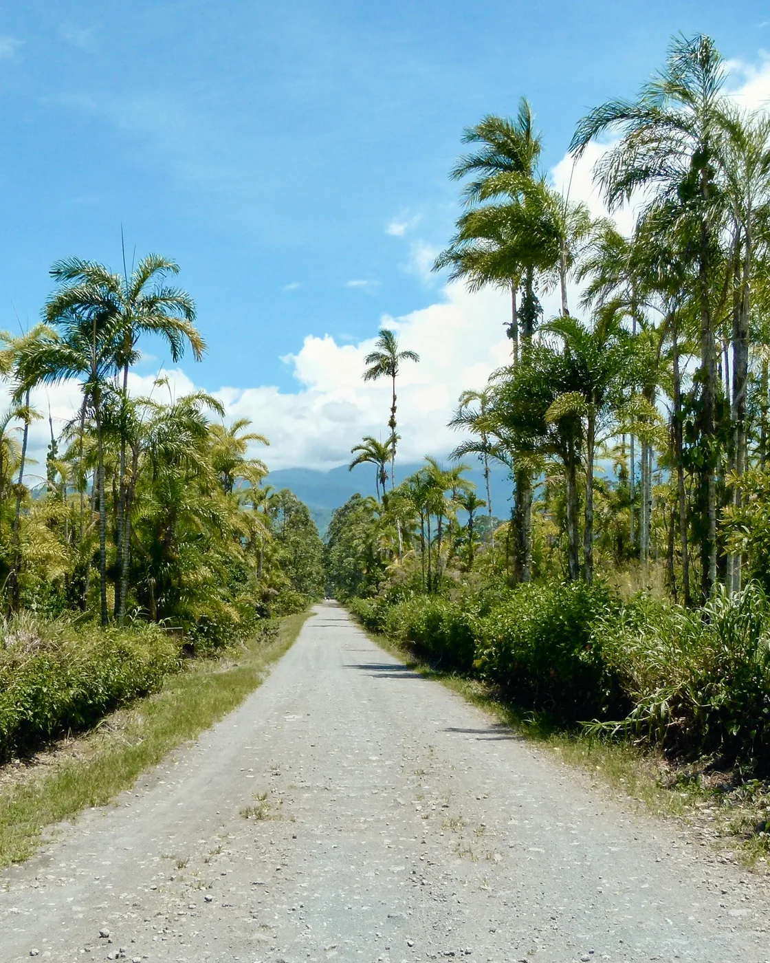
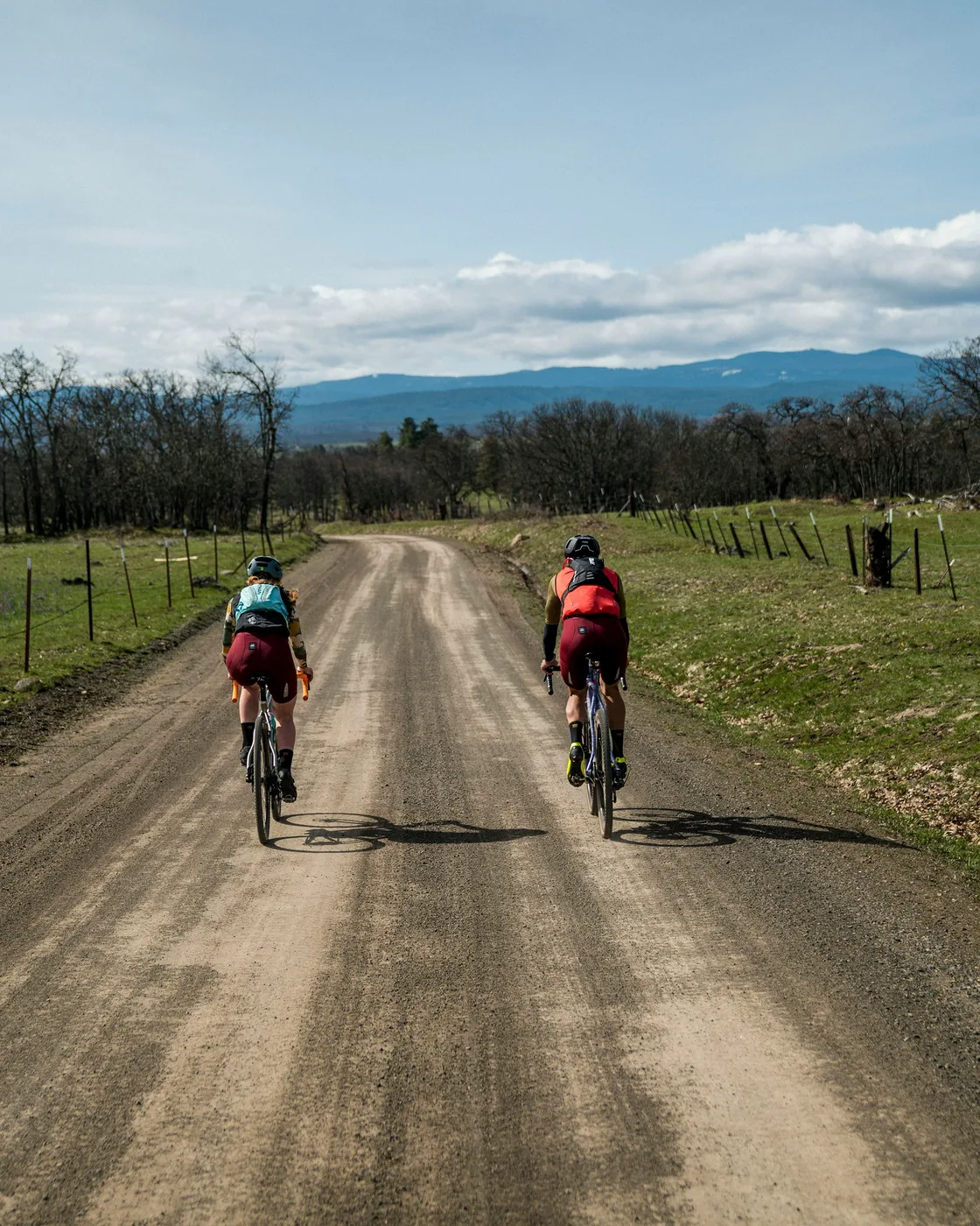
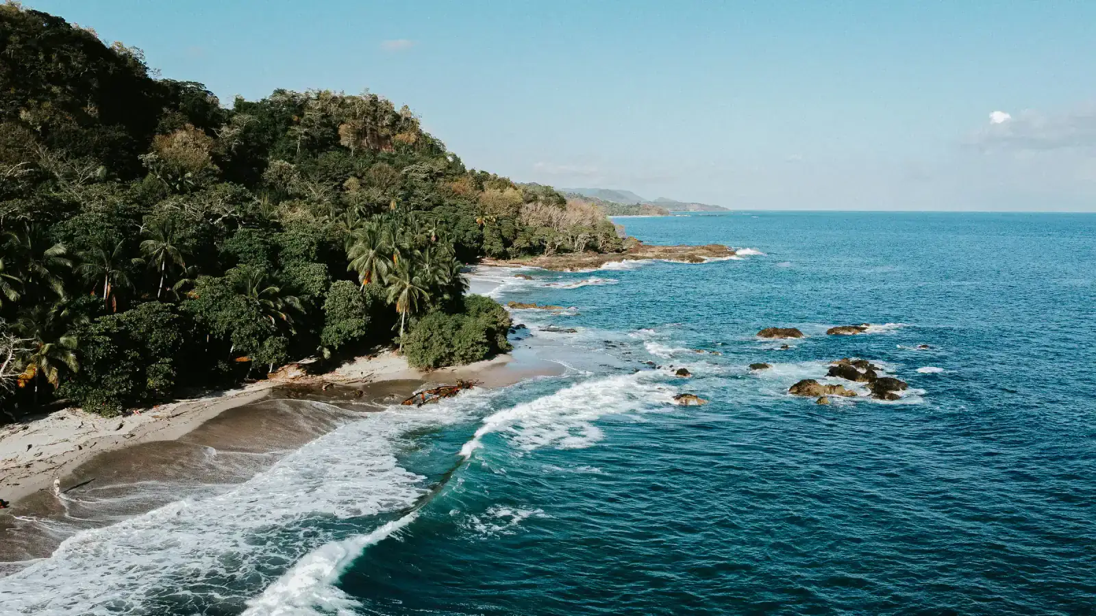
The Nicoya Peninsula green: sunny mornings, an afternoon shower, evening light — and the wild coast taken inland around its river mouths.

Departure3 – 11 July 2027
Duration9 days
Group6 – 8 athletes
Distance~356 km~221 mi
Single occupancyUSD 15,050
Rainy season · May – November

What the season changes.

Departures
  • 3 – 11 July 2027 Now booking
The two seasons at a glance
Dry seasonRainy season
RainLittle, and least from January; December still drying.Dry mornings; rain most afternoons.
RiversFalling — fords and easy crossings by January.Full — live crossings.
Light and landHard sun and long views.Soft light; the lowlands green.
CompanyHigh season in Costa Rica.The country largely to yourselves.
What the seasons mean, and every edition

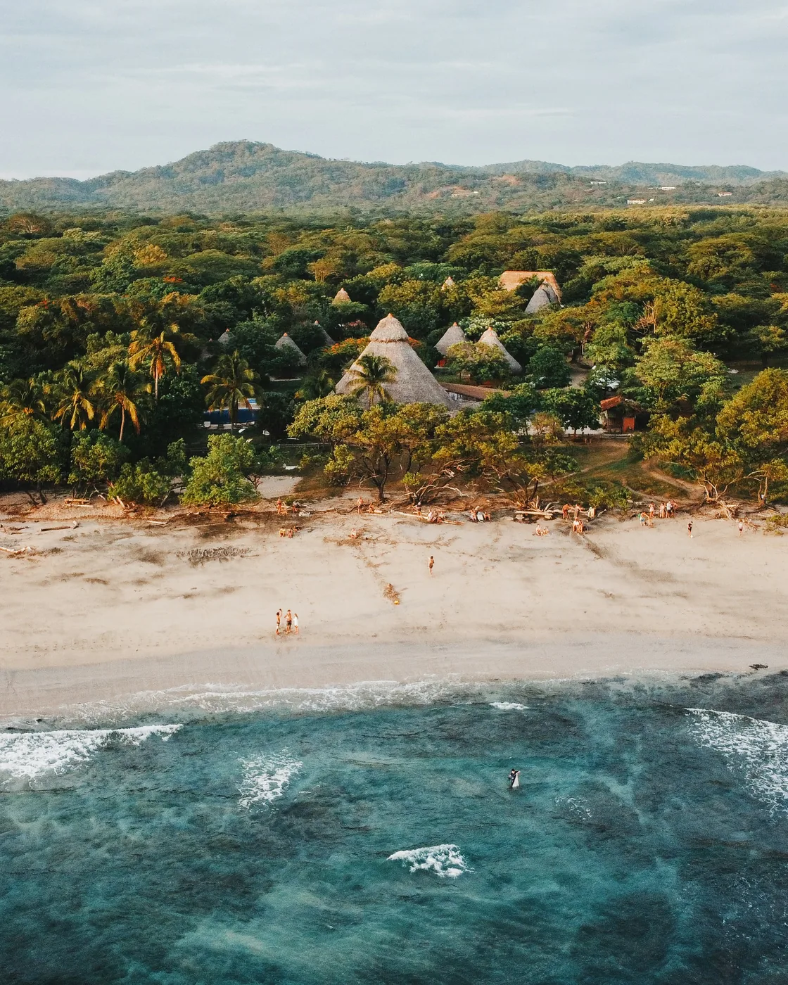
The rainy season on the Nicoya Peninsula is a different place. The first rains of May turn the straw hills green; by July the coast is at full colour and the riding is cooler. The day has a shape: sun through the morning, cloud building towards midday, a shower in the afternoon, then light again. July is veranillo month in Guanacaste — the dry spell usually settles in from mid-July — so we ride on the rainy-season rhythm, not the lull.

The wild coast becomes a river story. In July the line leaves the beach at the big river mouths and goes round by the inland road, so the day's distance and climbing differ from the January line. At Ostional the big-arribada season is opening: from July to November hundreds of thousands of olive ridleys come ashore over three or four nights, the largest events in September and October — the route rides past the refuge, so a sighting is luck and timing. The south swell makes the surf bigger, and the sea runs less clear after rain.

Who it is for: riders who want the coast quieter than in the dry season and a shell in the bar bag. Expect green everything and an inland line around the river mouths.

9 days, told slowly.

A real itinerary, with real distances, real lodges, and the meals that bookend each day — dated for the rainy season.

The cartograph

Every day, on one map.

Each route is drawn from our own field reconnaissance. Select a day to read its profile, or follow the line of the journey end to end.

Days 06
Distance 356km221mi
Gain +7,821m+25,659ft
The days
— Drawn from our own field reconnaissance. © Stadia Maps · © Stamen Design · © OpenStreetMap
01
San José
Saturday · 3 July 2027 · San José

Arrive and assemble.

Arrive in San José and transfer to your hotel. The afternoon is yours to rest and to assemble your bike with guide assistance — frame out of the case, wheels back on, gears dialled.

At 17:00, meet your expedition leader and fellow riders in the lobby for the welcome briefing, followed by a relaxed welcome dinner. We help you get your bike dialled in — saddle height, bar reach, tire pressure for your weight and the terrain; a professional bike-fit consultation is available on request.

DistanceRest day
Elevation1,170 m3,840 ft
MealsDinner
LodgeHampton Inn by Hilton, San José
02
Paquera → Santa Teresa
Sunday · 4 July 2027 · Paquera → Santa Teresa

Across to the Pacific.

Rainy seasonRainy season: rain is likeliest in the afternoon; the morning crossing and the ride to Santa Teresa are usually dry.

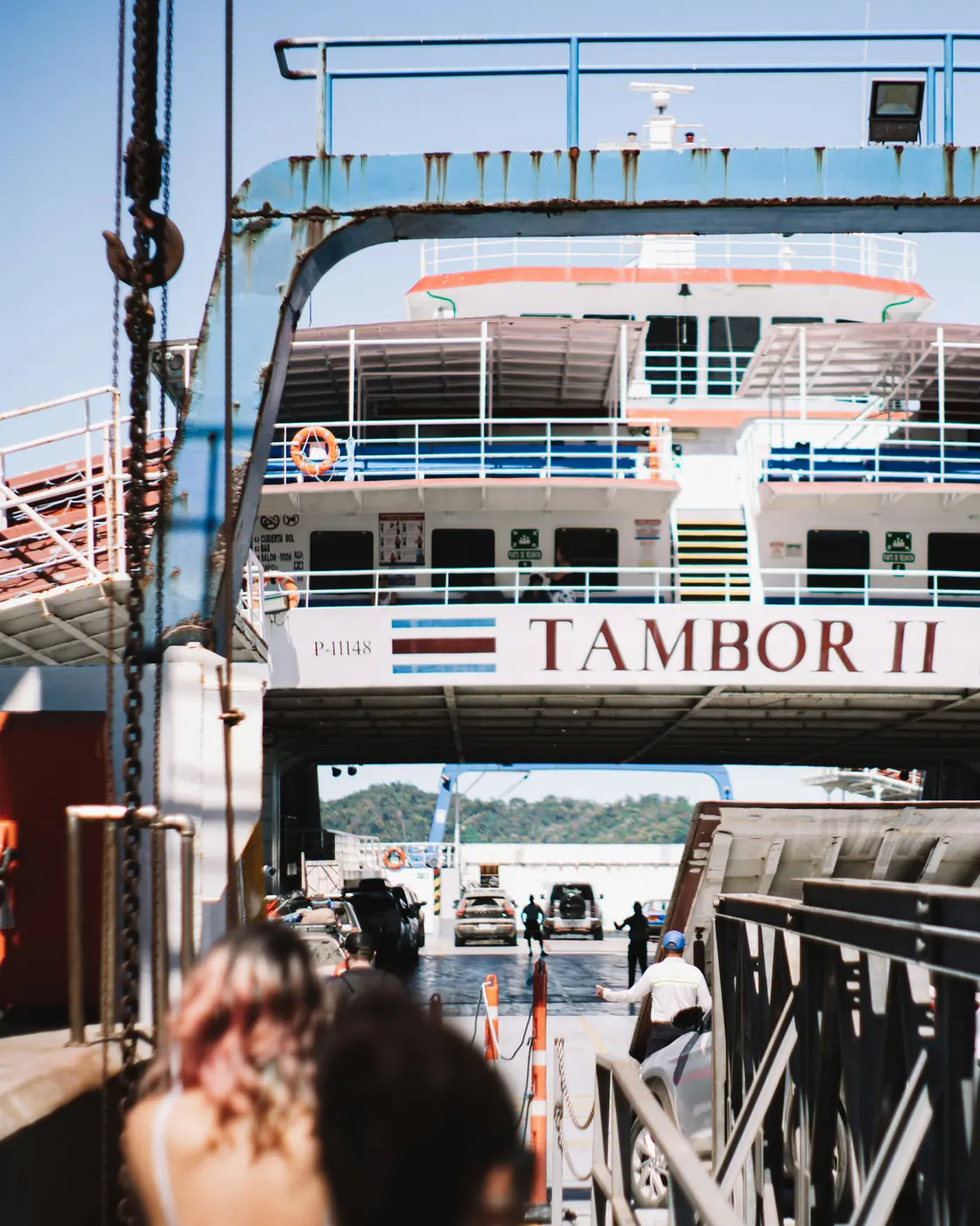
After breakfast, cross the Gulf of Nicoya and roll out from Paquera, the old ferry landing on the peninsula's inner coast. The first kilometres run low and easy past Tambor, on the calm horseshoe bay of Bahía Ballena, and through Cóbano, the small hub of the southern peninsula.After breakfast, cross the Gulf of Nicoya and roll out from Paquera, the old ferry landing on the peninsula's inner coast. The first miles run low and easy past Tambor, on the calm horseshoe bay of Bahía Ballena, and through Cóbano, the small hub of the southern peninsula.

The only real climbing waits at the end, a string of hills near 200 m, before the road tips down to the surf at Santa Teresa. A crossing more than a stage: calm gulf water at your back, the open Pacific ahead — a way to find your legs, the heat and the gravel.The only real climbing waits at the end, a string of hills near 660 ft, before the road tips down to the surf at Santa Teresa. A crossing more than a stage: calm gulf water at your back, the open Pacific ahead — a way to find your legs, the heat and the gravel.

Distance46.5 km28.9 mi
Elevation+915 m+3,002 ft
MealsBreakfast
LodgeHotel Fermata, Santa Teresa
03
Lepanto → Santa Teresa
Monday · 5 July 2027 · Lepanto → Santa Teresa

Into the green interior.

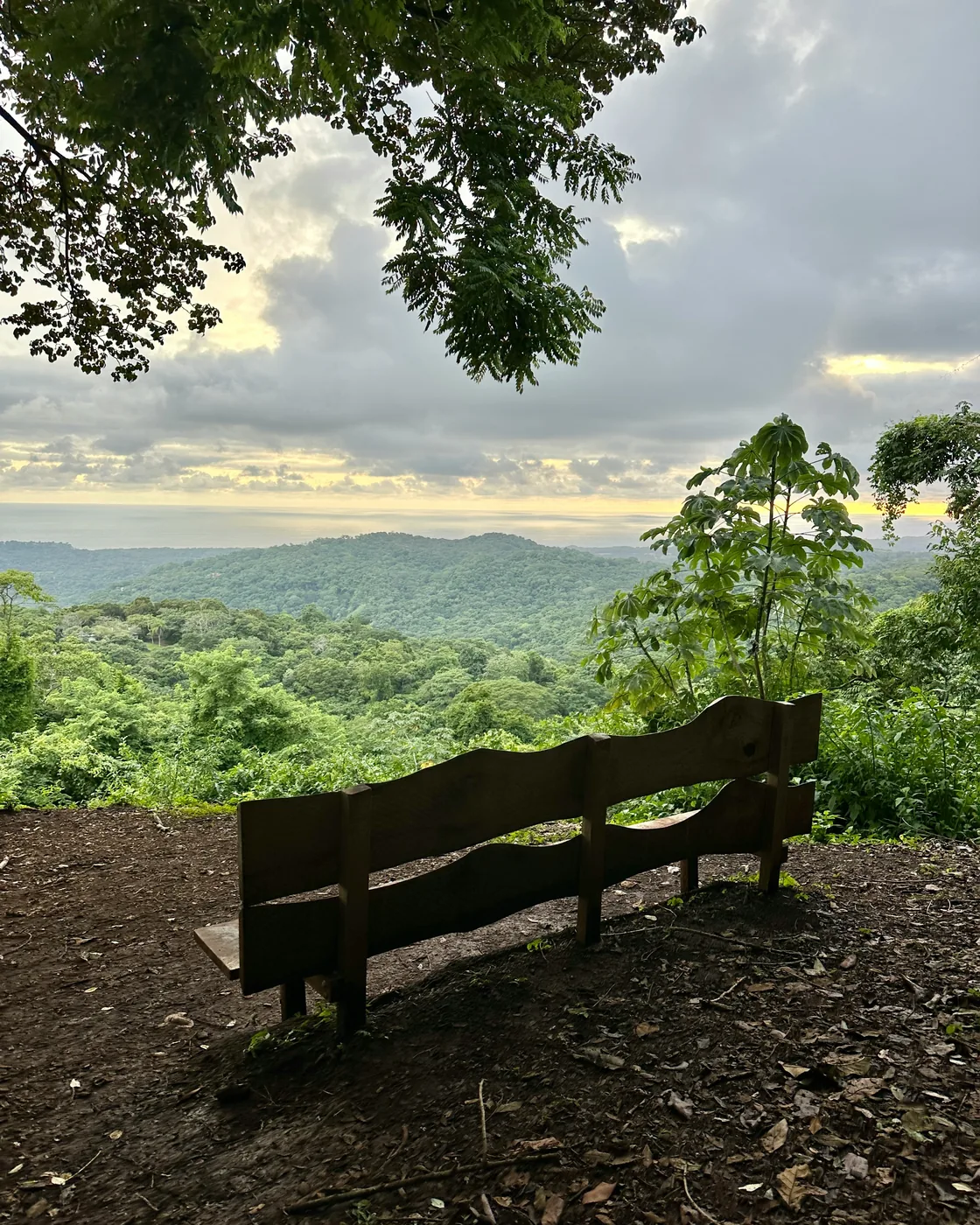
From Lepanto, on the peninsula's inner edge, the road climbs hard and early — a sustained pull to a forested ridge around 460–530 m inside the first twenty kilometres, up into the cool, tree-shaded interior of southern Nicoya. Big canopy overhead, the chance of howler and white-faced monkeys, the temperature dropping as you climb.From Lepanto, on the peninsula's inner edge, the road climbs hard and early — a sustained pull to a forested ridge around 1,500–1,700 ft inside the first 12 miles, up into the cool, tree-shaded interior of southern Nicoya. Big canopy overhead, the chance of howler and white-faced monkeys, the temperature dropping as you climb.

Over the top the route tips down the spine of the peninsula and rolls south, shedding the height in long descents back to Santa Teresa. Most of the day's climbing is front-loaded into that opening ridge — the day that tells your legs this is a real expedition.

Distance55.8 km34.7 mi
Elevation+1,644 m+5,394 ft
MealsBreakfast
LodgeHotel Fermata, Santa Teresa
04
Santa Teresa → Nosara
Tuesday · 6 July 2027 · Santa Teresa → Nosara

The wild coast.

Rainy seasonIn July the line leaves the beach at the big river mouths and goes round by the inland road.

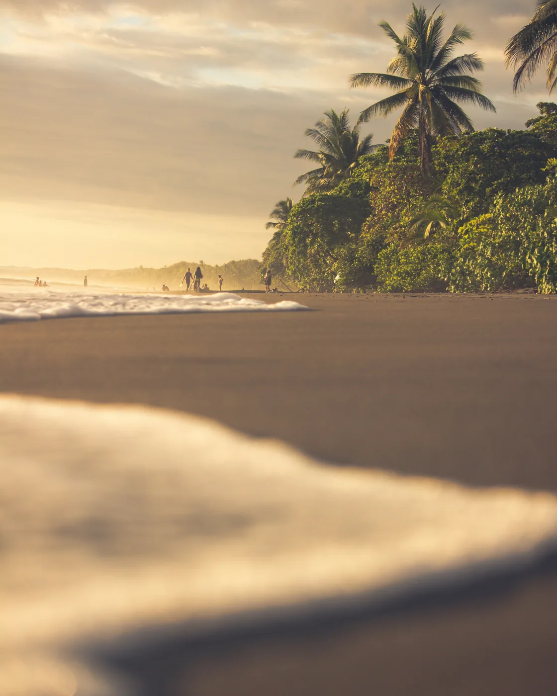
The big traverse, and the wildest stretch of the trip — ridden in full, one hotel to the next. North out of Santa Teresa through Manzanillo, then onto the undeveloped middle coast of Nicoya: San Francisco de Coyote, Playa Coyote, Bejuco, Playa San Miguel — beaches most travellers never reach.

The line passes the Camaronal refuge, a nesting beach for several of the world's sea-turtle species, and Punta Islita, a tiny village known for the open-air art museum set into its streets, before running on past Garza to Nosara. A hundred kilometres of dirt and gravel along a coast defined by what it lacks — no resort strip, no traffic, river mouths instead of bridges. The endurance day, finished in the Blue Zone.The line passes the Camaronal refuge, a nesting beach for several of the world's sea-turtle species, and Punta Islita, a tiny village known for the open-air art museum set into its streets, before running on past Garza to Nosara. 62 miles of dirt and gravel along a coast defined by what it lacks — no resort strip, no traffic, river mouths instead of bridges. The endurance day, finished in the Blue Zone.

Distance101.1 km62.8 mi
Elevation+1,530 m+5,020 ft
MealsBreakfast
LodgeSendero Hotel & Villas, Nosara
05
Nosara Loop · Queen Stage
Wednesday · 7 July 2027 · Nosara

Seventy kilometres, 43 miles, straight up.

Rainy seasonJuly opens Ostional's big-arribada season; the route rides past the refuge — a sighting is luck and timing.

The signature day, and where all the climbing lives — 2,632 metres of it. North along the coast to Ostional, then a hard turn inland and up into the mountains east of town, a high point around 950 m, ridges through the highlands, and a long descent back to the sea and home to Nosara.The signature day, and where all the climbing lives — 8,635 feet of it. North along the coast to Ostional, then a hard turn inland and up into the mountains east of town, a high point around 3,100 ft, ridges through the highlands, and a long descent back to the sea and home to Nosara.

Ostional protects one of the planet's most important olive-ridley nesting beaches — the coast famous for the arribada, the mass arrival of nesting turtles. The hardest sustained climbing of the expedition, the Pacific at the bottom of the day and at the top of it. E-bike upgrade available on request.

Distance69.3 km43.1 mi
Elevation+2,632 m+8,635 ft
MealsBreakfast
LodgeSendero Hotel & Villas, Nosara
06
Nosara → Tamarindo
Thursday · 8 July 2027 · Nosara → Tamarindo

Up the surf coast.

Rainy seasonSouth swell season: bigger surf along the coast.

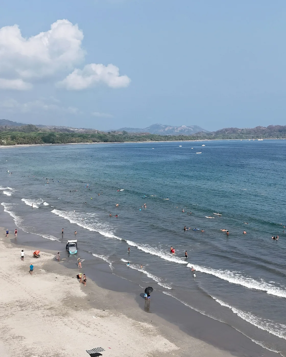
North up the Guanacaste surf coast, hotel to hotel. From Nosara past Ostional to San Juanillo, a small, much-loved fishing cove, then Marbella, Playa Negra at Los Pargos — the town behind one of the coast's best-known reef breaks — Playa Avellanas, and the edge of Hacienda Pinilla before Langosta and the finish at Tamarindo.

Flat and fast, 782 metres of climbing, strung along the iconic surf beaches — more celebration than effort, with the hardest days behind you. You arrive at the final base with the bay in front of you.Flat and fast, 2,566 feet of climbing, strung along the iconic surf beaches — more celebration than effort, with the hardest days behind you. You arrive at the final base with the bay in front of you.

Distance59.2 km36.8 mi
Elevation+782 m+2,566 ft
MealsBreakfast
LodgeHotel Capitán Suizo, Tamarindo
07
Tamarindo → Brasilito
Friday · 9 July 2027 · Tamarindo → Brasilito

To the shell beach.

The lightest day of the week, and a kind of victory lap. North out of Tamarindo through Villarreal and the inland crossroads at Huacas, then down through Matapalo to the coast at Brasilito — twenty-four kilometres of easy gravel and back road, barely three hundred metres of climbing.The lightest day of the week, and a kind of victory lap. North out of Tamarindo through Villarreal and the inland crossroads at Huacas, then down through Matapalo to the coast at Brasilito — 15 miles of easy gravel and back road, barely 980 feet of climbing.

Brasilito is a working Tico fishing village: boats drawn up on grey sand, a soccer field for a town square. A ten-minute walk south is Playa Conchal — a shoreline built not of sand but of millions of crushed shells, turquoise water beyond it. An unhurried, earned finish to a coast-to-coast week, with the afternoon free back at the base.

Distance23.8 km14.8 mi
Elevation+318 m+1,043 ft
MealsBreakfast
LodgeHotel Capitán Suizo, Tamarindo
08
Return + farewell
Saturday · 10 July 2027 · Tamarindo → San José

Back to the capital.

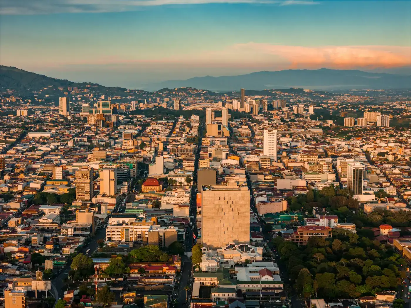
Return to San José by the morning. The afternoon is yours to rest at the hotel or wander the capital's cafés and markets.

In the evening, the farewell dinner. Speeches optional but inevitable.

DistanceRest day
MealsBreakfast, dinner
LodgeHampton Inn by Hilton, San José
09
Departure
Sunday · 11 July 2027 · Departure

Until the next one.

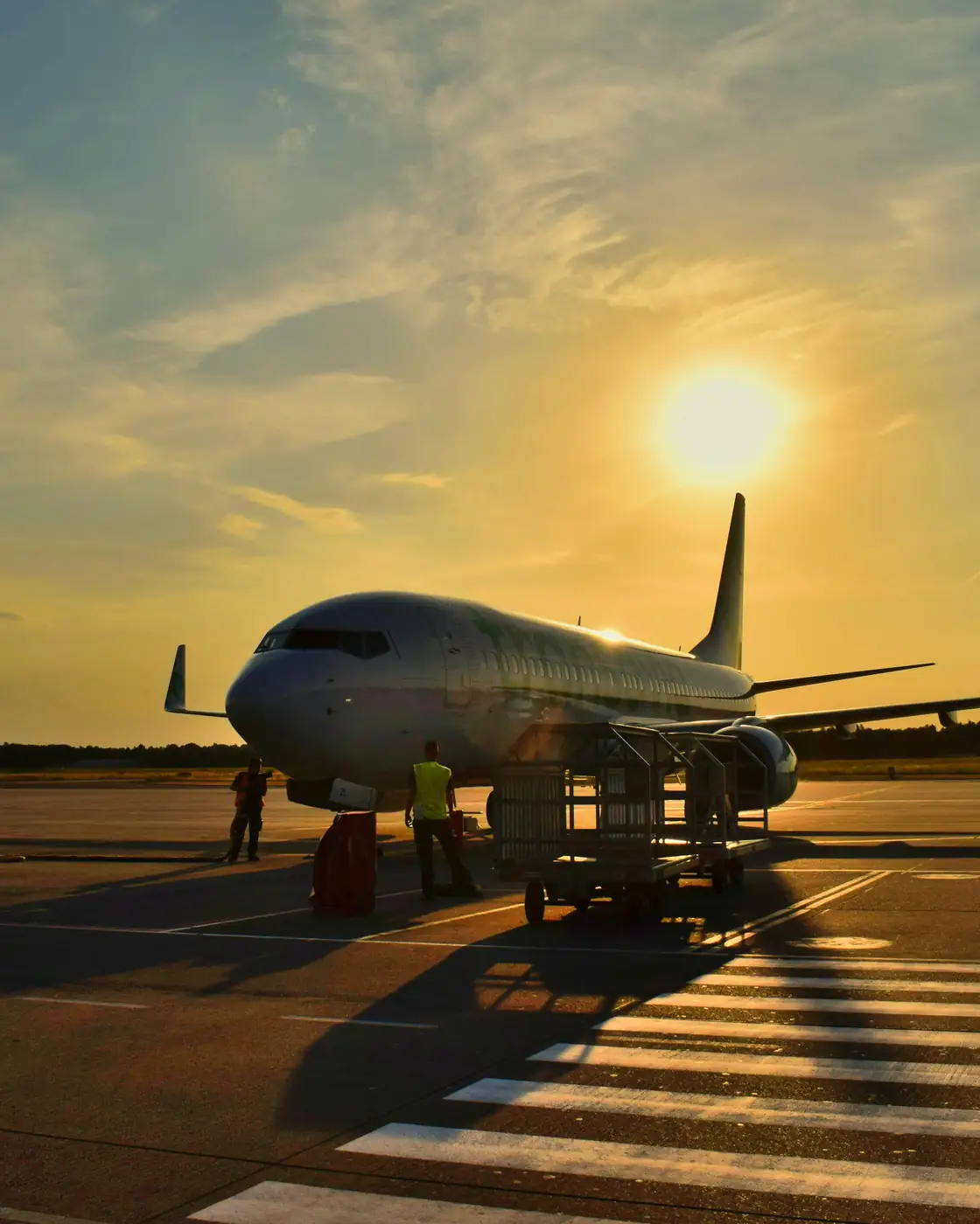
Final breakfast at the hotel and transfer to the airport. Depart with a coast-to-coast crossing of the peninsula behind you — the wild middle coast, the Nosara queen stage, and a finish on the Guanacaste surf.

DistancePrivate to SJO
MealsBreakfast

What is included.
And what is not.

Included in your fare

  • All accommodations (8 nights: San José, Santa Teresa, Nosara, Tamarindo)
  • All in-country transportation, including the Gulf of Nicoya ferry crossing, support van and bike transport
  • Two professional guides and one dedicated photographer-videographer
  • Daily breakfast and select lunches and dinners (per itinerary)
  • Airport assembly and trip-long handling of your own bike, plus tune-ups throughout
  • Bike setup help on Day 1 — saddle height, bar reach, tire pressure for terrain
  • Snacks, hydration, vehicle leap-frog and on-route aid stations on every riding day
  • Full safety support: Wilderness First Responder–led

Available on request

  • E-bike upgrade (any day or the full trip — current-year Trek or Specialized gravel/e-gravel)
  • Gravel bike rental as a fallback for guests who can't bring their own (current-year carbon gravel)
  • Bike-fit consultation with a specialist
  • Surf lesson or restorative yoga at the coastal bases
  • Massage, spa session, or sunset sail in Tamarindo
  • Extended stay before or after the expedition

Not included

  • International flights to / from Costa Rica
  • Travel insurance (required, available through us)
  • Lunches and dinners not marked in the itinerary
  • Personal riding kit (shorts, jersey, gloves, glasses, helmet recommendations on request)
  • Tips for guides and lodge staff
  • Alcoholic beverages (except welcome & farewell dinners)
Hold your place

The expedition is 6 – 8 athletes wide.

A 30% deposit reserves your place. Final balance due 60 days before departure. We reply to every enquiry personally within 24 hours.

Per person · single occupancy
USD 15,050
Single is your own private room. Double is one room for two who book together — partner, friend, training companion. We never pair you with a stranger. All taxes included; pricing locked at booking.
Rainy season · departures

9 days. 6 – 8 places. One season.

Booking is handled through our trusted partner WeTravel. Your information stays private; we never share contact details with third parties.

6 – 8 places. 9 days. Rainy season.

This edition departs 3 – 11 July 2027. 6–8 athletes. Founder-led, photographer-supported.